“We are now able to discover, identify, and track features in ways which have never been done before, and in extraordinary detail. We have real-time data that allows us to react at a moment’s notice.”
— Dr. Christopher Zappa, Principal Investigator
Technological innovation aboard Falkor blazed paths in several hard-to-reach ocean environments and expanded oceanographic knowledge with new data of unprecedented spatial and temporal resolution.
TECHNOLOGY UNLOCKS THE UNEXPLORED
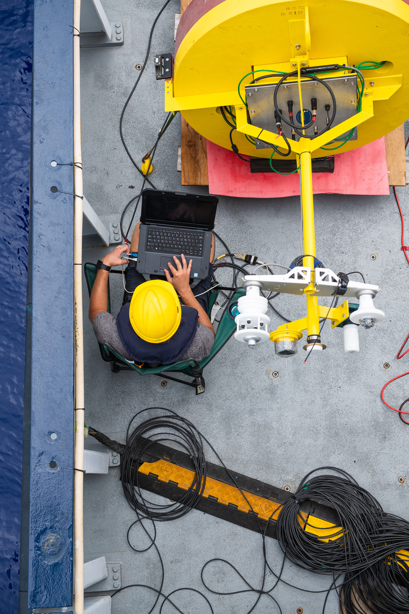
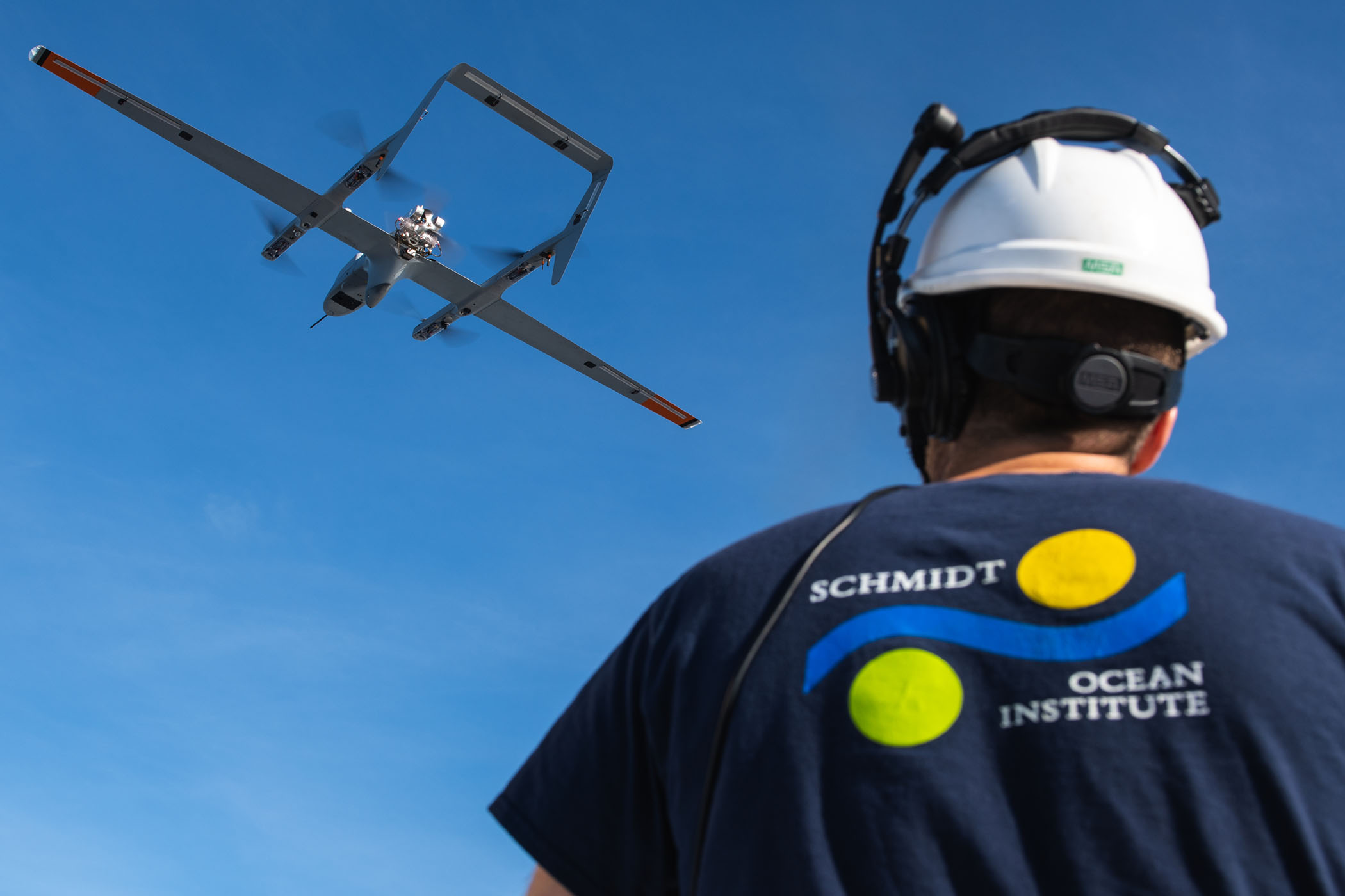
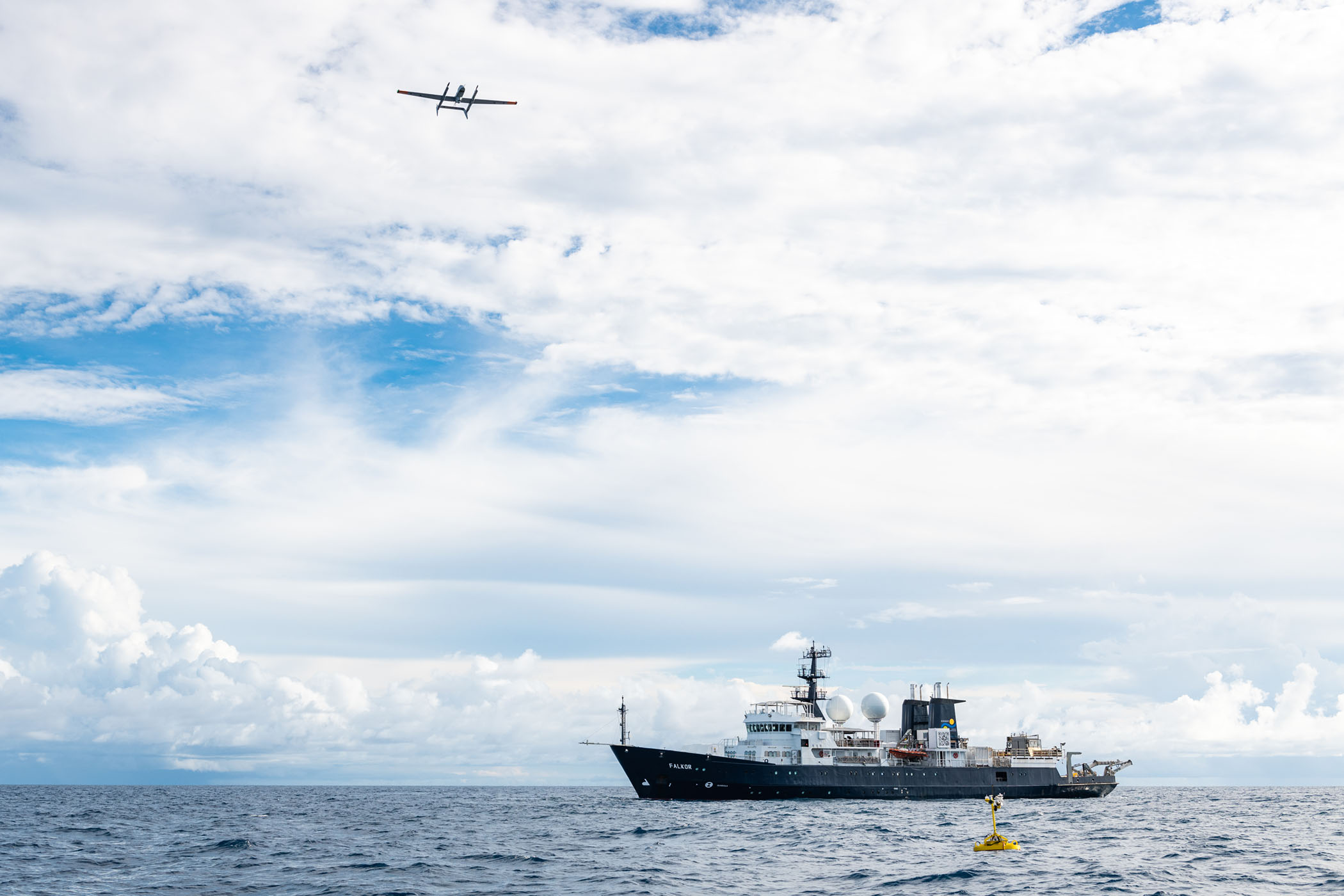
Expanding on the inaugural 2016 Sea-Surface Microlayer expedition, Unmanned Aerial Vehicle operations reached new heights with fully automated vertical takeoff and landing from Falkor during the last expedition of 2019, allowing scientists to study features of the sea-surface microlayer at scales of 10 cm or less in near real time.
Using highly accurate sensors on the aircraft the science team was able to map the temperature and color of the ocean surface. The expanded observation abilities led to finding large rafts of pumice from an underwater volcanic eruption in Tonga. Understanding this top layer of the ocean is essential for improving models of sea-surface temperature and its impact on global temperatures, storms, and fisheries (#AirtoSea).
Unprecedented biological and chemical studies of vent systems in the Gulf of California applied developing technology, including radiation tracking devices, as well as sediment and fluid samplers mounted on ROV SuBastian, to obtain geochemical data across a gradient of fluid flux regimes and water depths. Additionally, the Oxford Nanopore MinION sequencing system assessed microbial omics data on board Falkor in real time (#MicrobialMysteries).
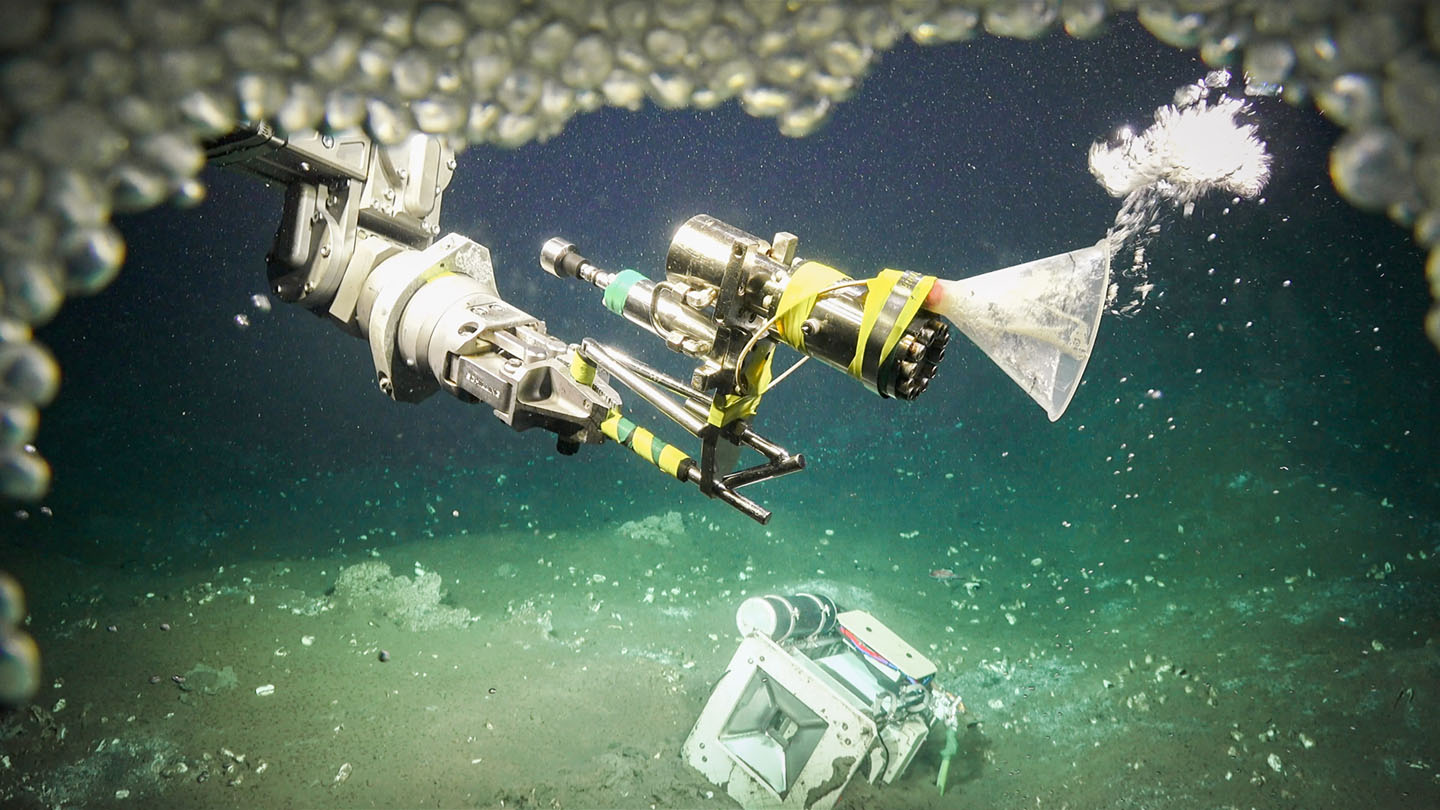
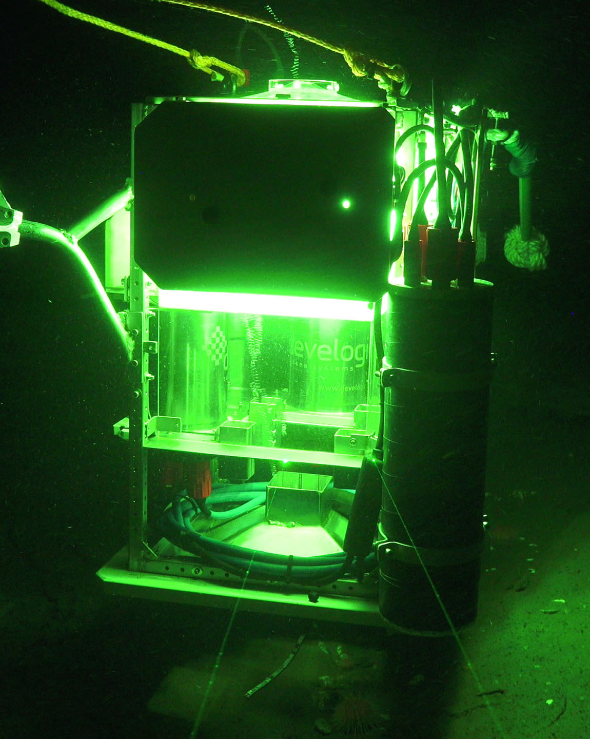
First-time datasets on methane emissions and oxidation rates were achieved with two types of technologically innovative landers: one with in-situ incubation chambers for determining the rates of microbial methane oxidation in the water column (designed by Dr. Martens, University of North Carolina), and the other with capabilities for measuring the size, shape, number, and rise velocity of gas bubbles as they emerged from the seafloor (designed by Dr. Greinert, GEOMAR). The measurements gathered will inform scientists about the destruction of methane by microbial processes at the actual depths and temperatures where the microbes live (#HuntingBubbles).
CATALYZING INNOVATION
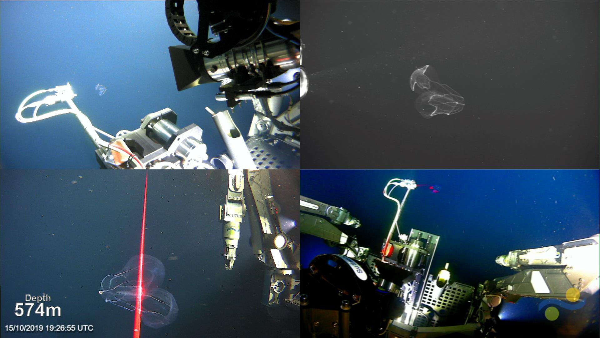
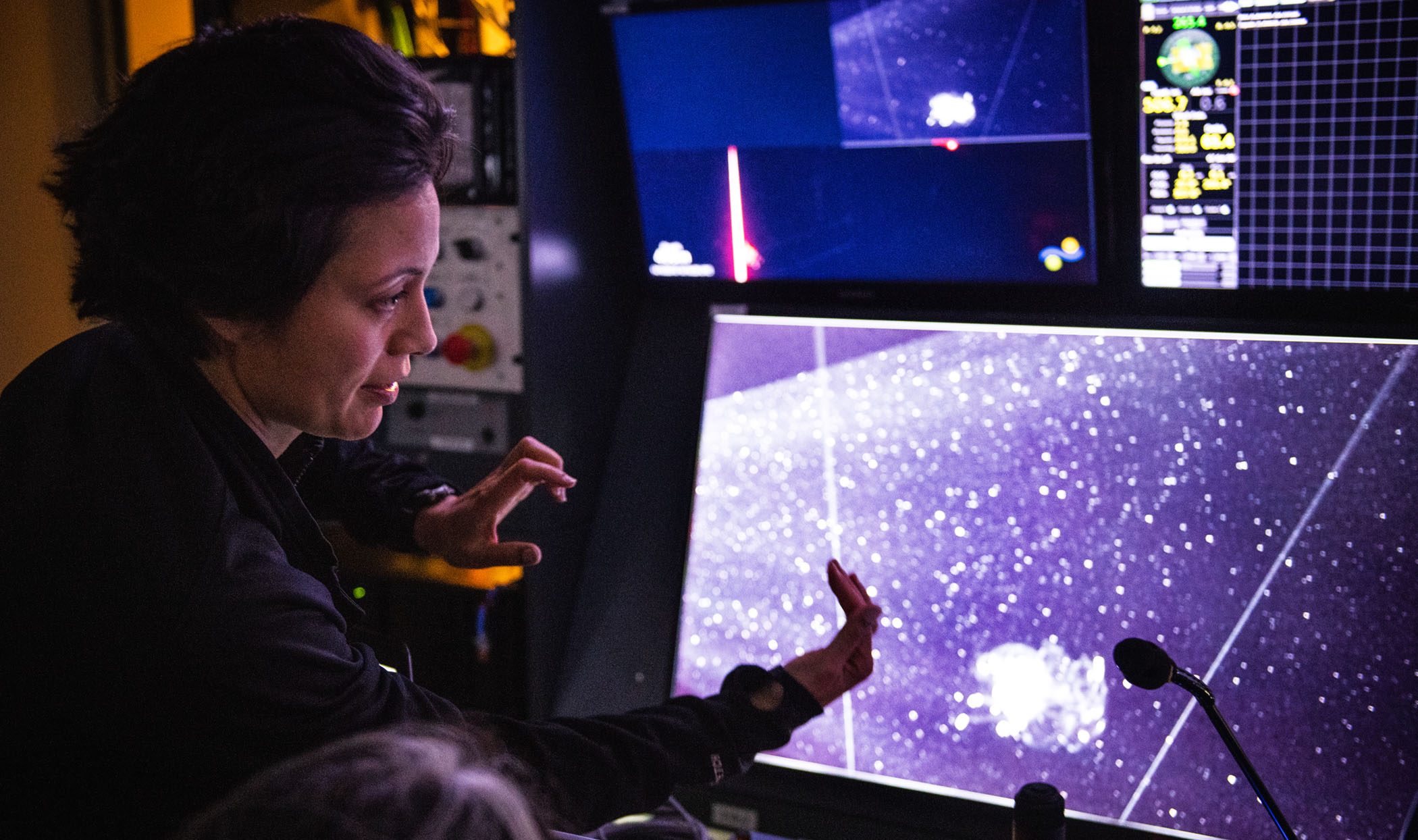
An in-situ species sampling tool that enables rapid characterization of deep-sea organisms was successfully tested aboard Falkor in preparation for a full expedition in 2020. Monterey Bay Aquarium Research Institution’s DeepPIV (particle image velocimetry) system and the new low-pressure hydraulic engine developed by the University of Rhode Island were integrated onto ROV SuBastian over the course of six dives. Combined with new soft robotic manipulators created by Harvard University, the complete system will help to characterize fragile organisms such as deep-sea jellyfish, ctenophores, siphonophores, and glass sponges.
The science team was able to create a technology-based workflow for extracting morphological, behavioral, and genetic information on delicate species of the deep midwater environment. During midwater tests, the scientists accomplished a revolutionary achievement providing visual perspectives of fluids moving through living organisms. The team expects to make advances in the fields of 3D scanning and reconstruction, flow visualization, and bioinspired robotics (#DesigningTheFuture).
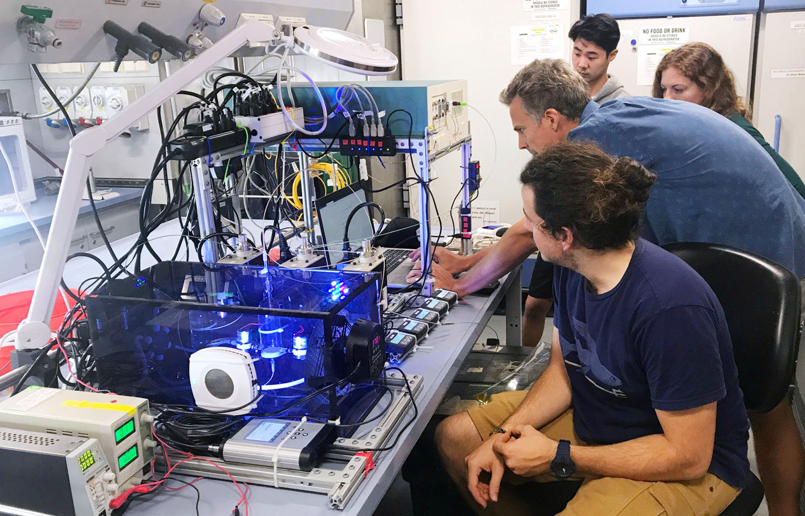
During a transit of opportunity, a new autonomous instrument designed by the University of Hawaii was tested to measure the rate of nitrogen fixation in the ocean surface along the equator. The instrument is in development with the goal of building a self-operating machine that traces the amount of hydrogen produced by algae species as a result of biological nitrogen fixation. The nitrogen cycle is critical to ocean ecosystems functioning by supporting new primary production in this nutrient limited environment. The science team used this expedition as a trial for the new instrumentation and to gather data for further technology modifications (#MappingTheGaps).
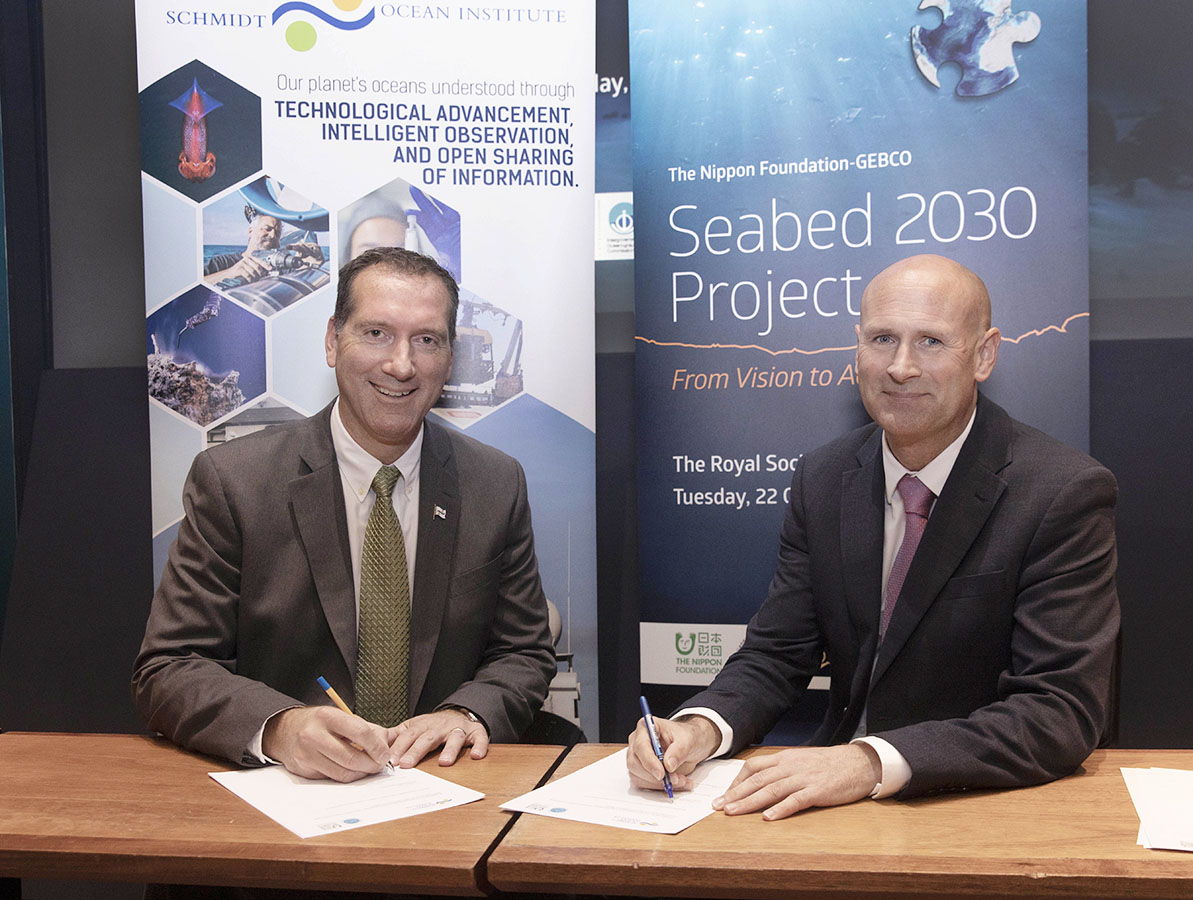
Additional seafloor mapping during the expedition also helped to contribute to the global collection of mapping data. In October, SOI signed a Memorandum of Understanding with The Nippon Foundation-GEBCO Seabed 2030 Project to share all of its collected mapping data with the project. According to the Seabed 2030 Project, about 32 million square kilometers or 15% of the ocean has been mapped. The million square kilometer milestone is a big one for SOI, accounting for 3% of this mapping contribution and the discovery of 14 new underwater geological features.
